The Alpes Mancelles
©Office de tourisme des Alpes Mancelles

Discover The Alpes Mancelles

Located in the heart of the Normandie-Maine Regional Nature Park and UNESCO Geopark, in three départements – Sarthe, Orne and Mayenne – and crossed by the Sarthe and Mayenne rivers, the Alpes Mancelles offer unexpected landscapes of small mountains. At the very tip of the Armorican Massif, they reveal the highest point in the Grand Ouest: Mont des Avaloirs.

Getting there

Listed site The Alpes Mancelles

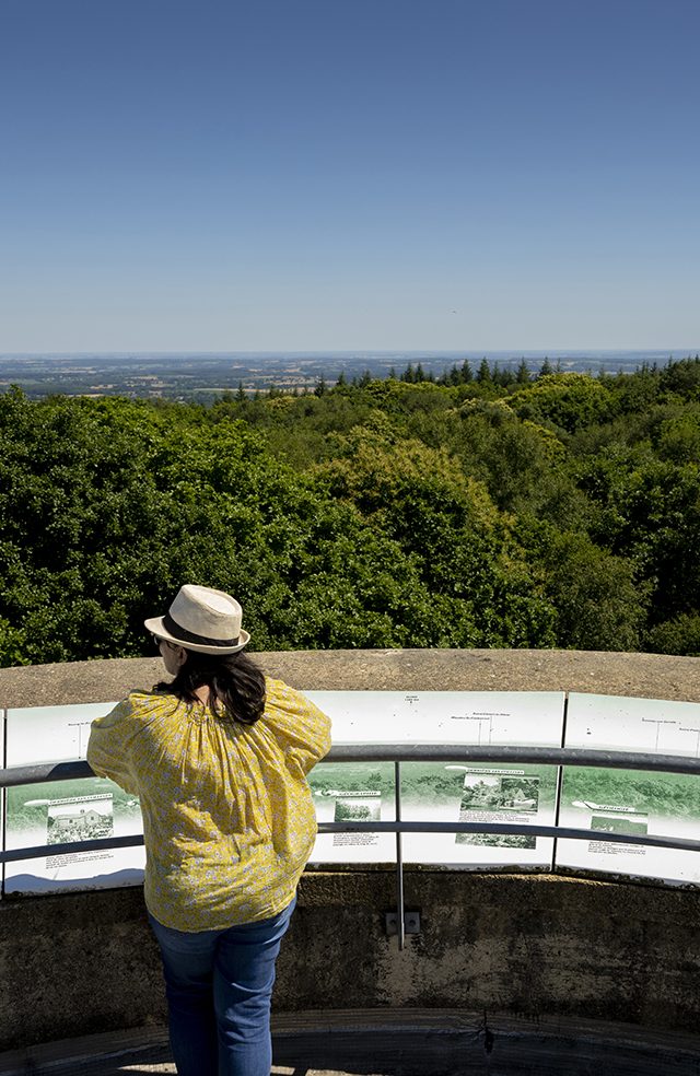
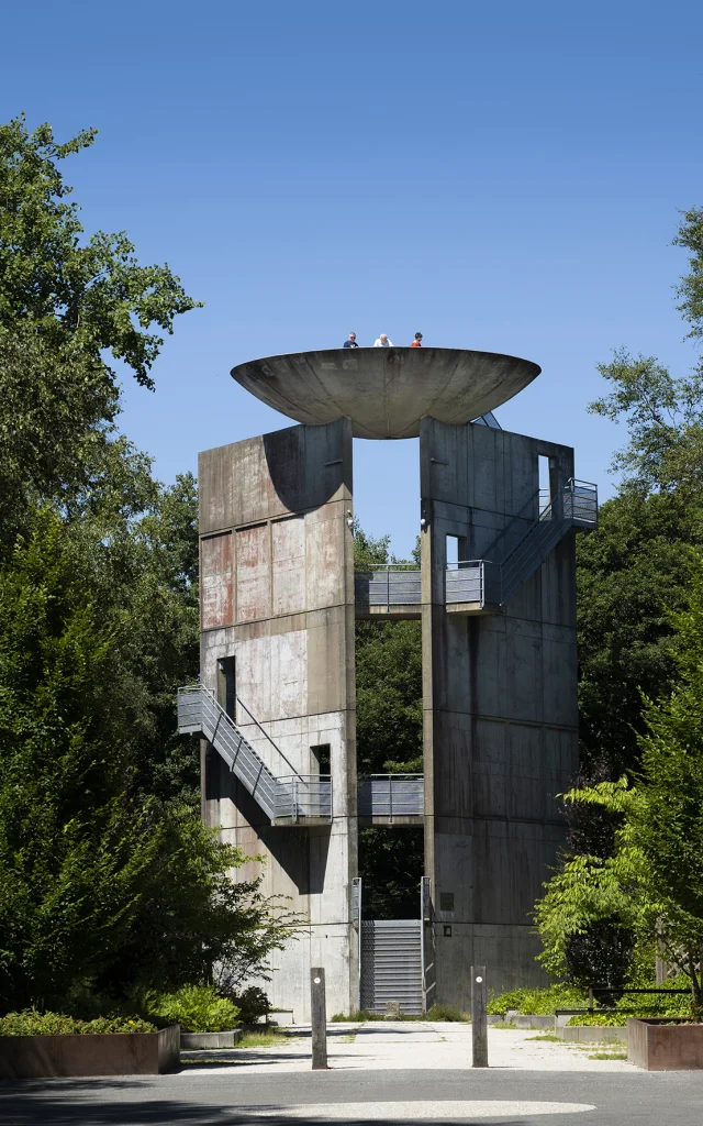
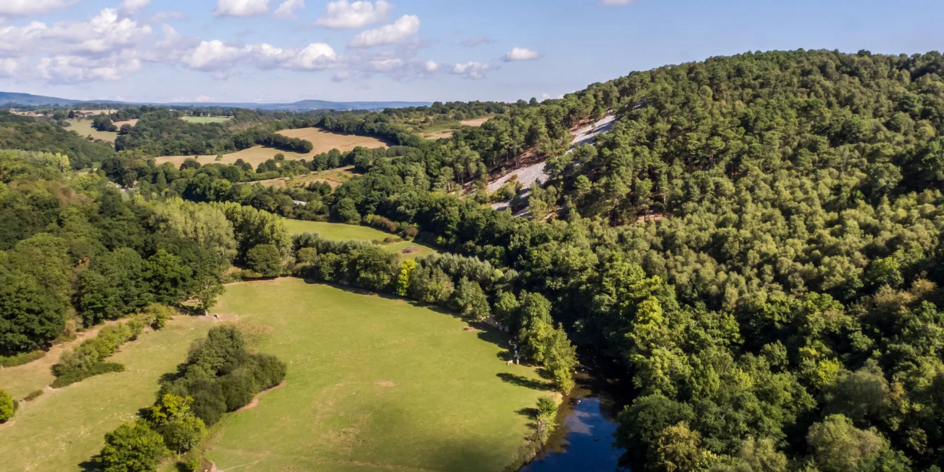
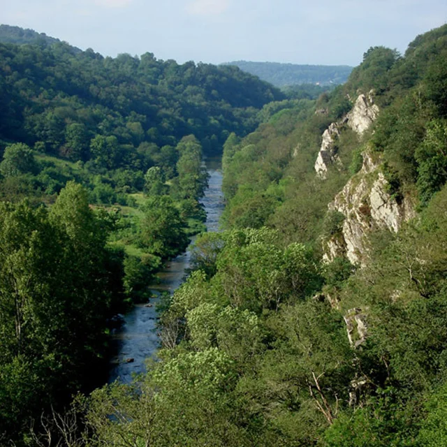
Situated at the heart of the Normandie-Maine Regional Nature Park and UNESCO Geopark, in three départements – Sarthe, Orne and Mayenne – and crossed by the Sarthe and Mayenne rivers, the Alpes Mancelles offer unexpected landscapes of small mountains. At the very tip of the Armorican Massif, they reveal the highest point in the Grand Ouest: Mont des Avaloirs.

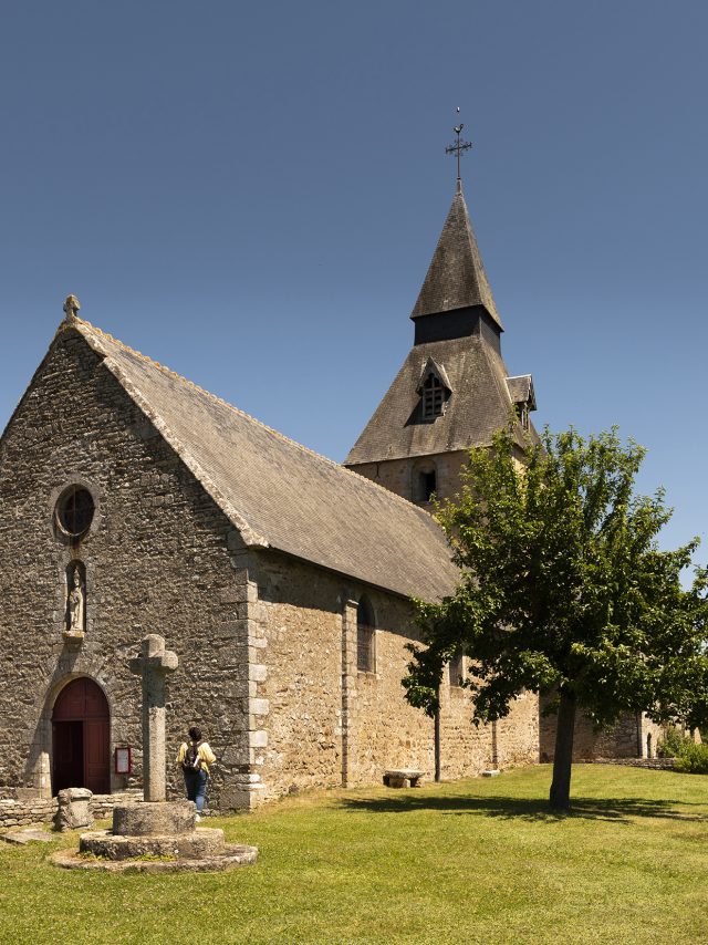
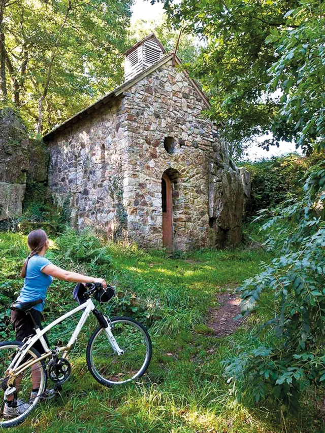
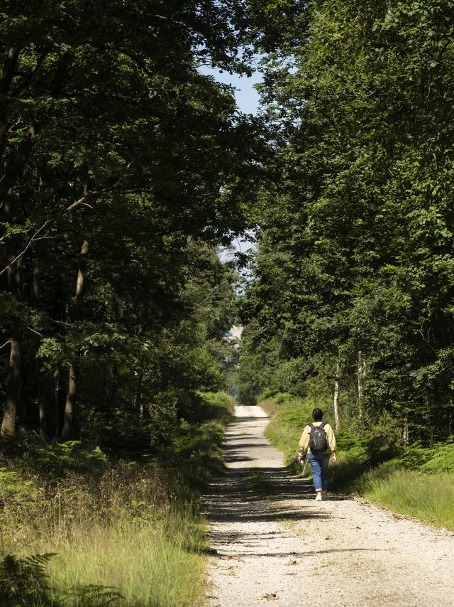
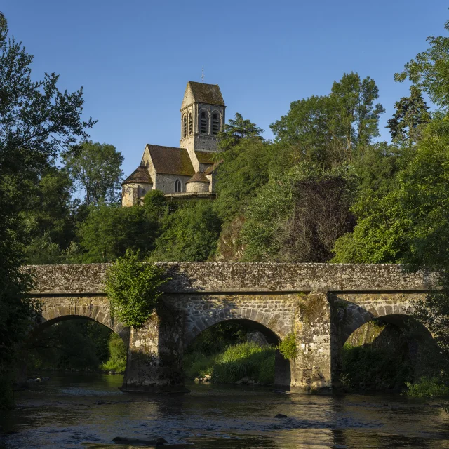
This area, with its rare flora and fauna, is ideal for outdoor activities and is full of nuggets: between the Plus beaux villages de France® and the Petites Cités de Caractère®, take the time to stroll through their narrow streets, take a stroll along the little lanes and discover a preserved and picturesque heritage. Saint-Céneri-le-Gérei and Saint-Léonard-des-Bois are just two examples of this rich heritage.

It is said that the name “Alpes Mancelles” comes from Céneri, a hermit who, having crossed the Italian Alps, decided to settle in this region whose landscapes reminded him of Alpine panoramas. In the 7th century, he founded a chapel and monastery on a meadow nestling in a bend in the Sarthe, and gave his name to the village of Saint-Céneri.

The Haut Fourché, the Vallée de Misère and the Pierre Bécue are all worth a visit. The Alpes Mancelles are ideal for outdoor activities such as canoeing, canoe-trekking, microlighting, mountain biking and, of course, hiking!

The "Les Alpes Mancelles" brand 

In the natural region of the Alpes Mancelles, between the Sarthe, Orne and Mayenne, the “Les Alpes Mancelles®” brand brings together 27 communes with shared landscapes, crossed by the Sarthe and Mayenne rivers, to develop awareness of the destination, unite local tourism and economic players, and share and communicate common values.

The brand logo associated with the word “Ambassadeur” indicates the partners committed to the sustainable development of the region.

Plaque Alpes Mancelles_GTPlaque Alpes Mancelles_GT
©Plaque Alpes Mancelles_GT

Catch your breath and get some height! Mount Avaloirs

This is Mont des Avaloirs, at 416 metres above sea level, the highest point in the west of France. Once you’ve climbed the 108 steps to the 18-metre-high belvedere, you won’t regret the effort, because the view from up there is well worth the effort: a 360° panoramic view of the superb landscapes of the Normandie-Maine Regional Nature Park, the Multonne forest and the Alpes Mancelles.

On a clear day, you can even make out the silhouette of Mont Saint-Michel!