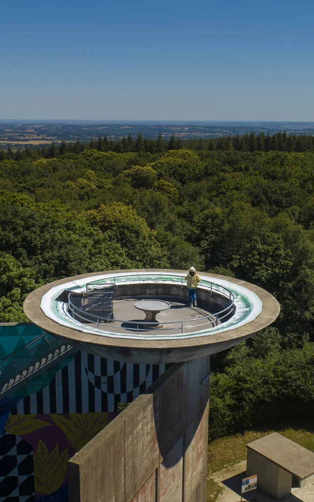
 Mont des Avaloirs viewpoint
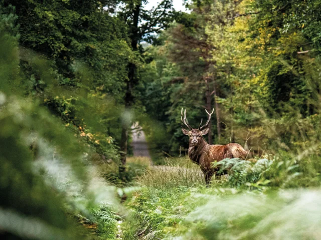
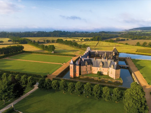
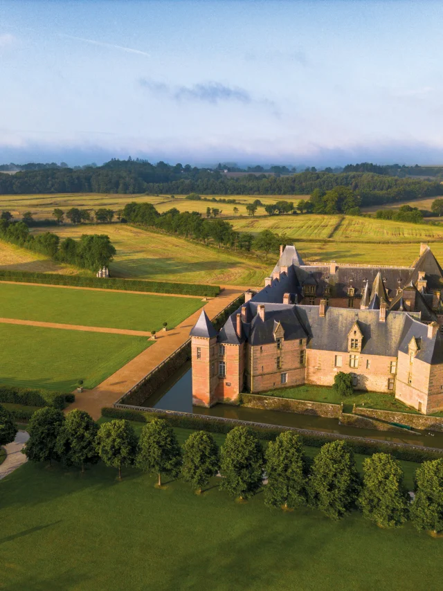
Between Normandy and Pays de la LoireGeological jewel
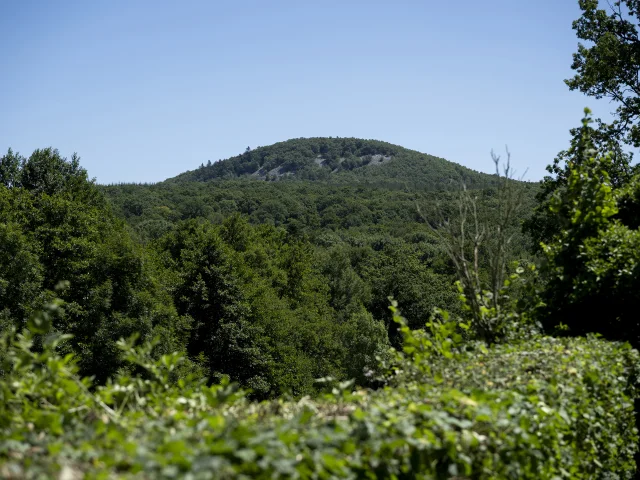
This Park, created in 1975, is one of the oldest in France. It stretches across four départements, Orne, Sarthe, Mayenne and Manche, straddling the border between Normandy and the Pays de la Loire, and boasts a surprisingly rugged landscape and some of the highest peaks in Western France: Mont des Avaloirs (416 m), Signal d’Écouves (413 m), Butte Chaumont (378 m) and Belvédère de Perseigne (342 m).
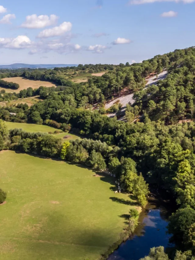
This exceptional area is a veritable open-air geological history book. Rocky escarpments, gorges, scree slopes and torrents are unique, and it took 600 million years to give this part of Normandy and Maine its breathtaking landscapes.